
Anamizu topographic map
Interactive map
Click on the map to display elevation.
About this map
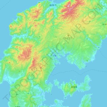
Name: Anamizu topographic map, elevation, terrain.
Location: Anamizu, Houshi County, Ishikawa Prefecture, Japan (37.16534 136.78814 37.30582 137.21649)
Average elevation: 99 m
Minimum elevation: -2 m
Maximum elevation: 565 m