
Tressó topographic map
Interactive map
Click on the map to display elevation.
About this map
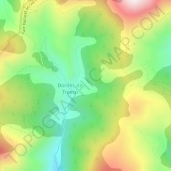
Name: Tressó topographic map, elevation, terrain.
Location: Tressó, Farrera, Pallars Sobirà, Lleida, Catalonia, Spain (42.46537 1.29846 42.48537 1.31846)
Average elevation: 1,855 m
Minimum elevation: 1,582 m
Maximum elevation: 2,232 m