
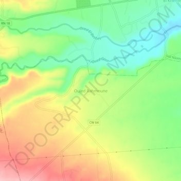
Ouled Rahmoune topographic map
Interactive map
Click on the map to display elevation.
About this map
Name: Ouled Rahmoune topographic map, elevation, terrain.
Average elevation: 666 m
Minimum elevation: 601 m
Maximum elevation: 745 m
Other topographic maps
Click on a map to view its topography, its elevation and its terrain.
Bouchrahil
Algérie > Médéa > Daïra Sidi Naamane
Bouchrahil, Daïra Sidi Naamane, Médéa, Algérie
Average elevation: 693 m