
King Fahad topographic map
Interactive map
Click on the map to display elevation.
About this map
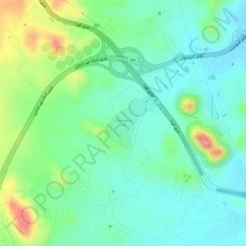
Name: King Fahad topographic map, elevation, terrain.
Location: King Fahad, At Taif, Makkah Region, Saudi Arabia (21.28948 40.37893 21.29532 40.38488)
Average elevation: 1,709 m
Minimum elevation: 1,673 m
Maximum elevation: 1,784 m
Other topographic maps
Click on a map to view its topography, its elevation and its terrain.
Jabal Dakah
Jabal Dakah, At Taif, Makkah Region, Saudi Arabia
Average elevation: 2,307 m