
Pardubice topographic map
Interactive map
Click on the map to display elevation.
About this map
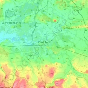
Name: Pardubice topographic map, elevation, terrain.
Average elevation: 236 m
Minimum elevation: 209 m
Maximum elevation: 309 m
Pardubice is located in the East Elbe Table lowland, in the eastern part of the Polabí lowlands. The highest point is the hill Stropinský vrch with an elevation of 258 metres (846 ft), located on the southeastern municipal border.