
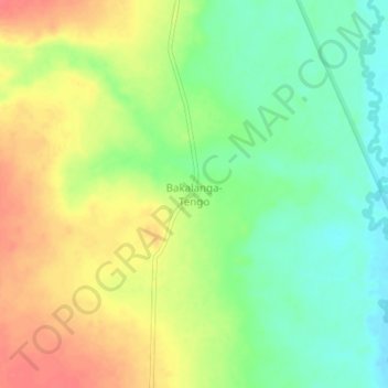
Bakalanga-Tengo topographic map
Interactive map
Click on the map to display elevation.
About this map
Name: Bakalanga-Tengo topographic map, elevation, terrain.
Location: Bakalanga-Tengo, Tanganyika, DR Congo (-5.47050 28.20530 -5.43050 28.24530)
Average elevation: 744 m
Minimum elevation: 716 m
Maximum elevation: 775 m