
Midland topographic map
Interactive map
Click on the map to display elevation.
About this map
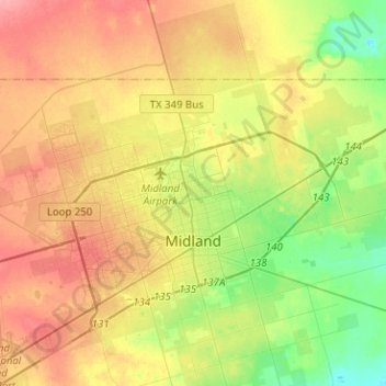
Name: Midland topographic map, elevation, terrain.
Location: Midland, Midland County, Texas, United States (31.91841 -102.26980 32.12939 -102.01767)
Average elevation: 855 m
Minimum elevation: 819 m
Maximum elevation: 893 m