
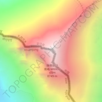
Mount Everest topographic map
Interactive map
Click on the map to display elevation.
About this map
Name: Mount Everest topographic map, elevation, terrain.
Average elevation: 7,841 m
Minimum elevation: 6,586 m
Maximum elevation: 8,849 m
The current official elevation of 8,848 m (29,029 ft), recognised by China and Nepal, was established by a 1955 Indian survey and subsequently confirmed by a Chinese survey in 1975.