
Lincoln County topographic map
Interactive map
Click on the map to display elevation.
About this map
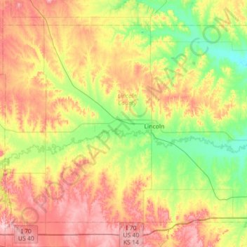
Name: Lincoln County topographic map, elevation, terrain.
Location: Lincoln County, Kansas, USA (38.87083 -98.49020 39.21980 -97.92835)
Average elevation: 466 m
Minimum elevation: 393 m
Maximum elevation: 567 m
Other topographic maps
Click on a map to view its topography, its elevation and its terrain.
Independence
USA > Kansas > Independence
Independence, Montgomery County, Kansas, 67301, USA
Average elevation: 245 m