
Vesder topographic map
Interactive map
Click on the map to display elevation.
About this map
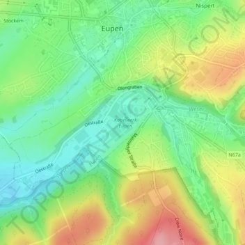
Name: Vesder topographic map, elevation, terrain.
Location: Vesder, Eupen, Verviers, Luik, Wallonië, 4700, België (50.62005 6.03266 50.62025 6.03307)
Average elevation: 291 m
Minimum elevation: 240 m
Maximum elevation: 369 m
Other topographic maps
Click on a map to view its topography, its elevation and its terrain.