
Tlokweng topographic map
Interactive map
Click on the map to display elevation.
About this map
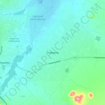
Name: Tlokweng topographic map, elevation, terrain.
Location: Tlokweng, South-East District, Botswana (-24.70738 25.93198 -24.62738 26.01198)
Average elevation: 992 m
Minimum elevation: 966 m
Maximum elevation: 1,142 m