
Nebraska National Forest: Bessey Ranger District topographic map
Interactive map
Click on the map to display elevation.
About this map
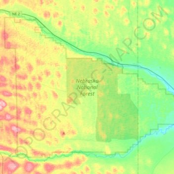
Name: Nebraska National Forest: Bessey Ranger District topographic map, elevation, terrain.
Average elevation: 866 m
Minimum elevation: 808 m
Maximum elevation: 960 m