
Taylor topographic map
Interactive map
Click on the map to display elevation.
About this map
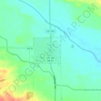
Name: Taylor topographic map, elevation, terrain.
Location: Taylor, Loup County, Nebraska, United States (41.76622 -99.38731 41.77321 -99.37602)
Average elevation: 697 m
Minimum elevation: 683 m
Maximum elevation: 732 m