
Augusta topographic map
Interactive map
Click on the map to display elevation.
About this map
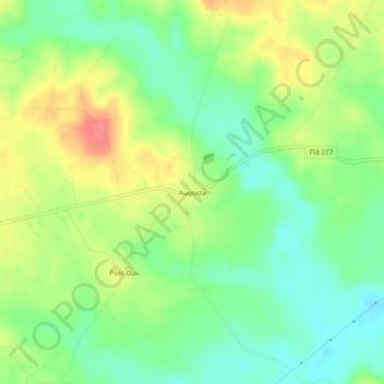
Name: Augusta topographic map, elevation, terrain.
Location: Augusta, Houston County, Texas, United States (31.51157 -95.35078 31.55157 -95.31078)
Average elevation: 104 m
Minimum elevation: 75 m
Maximum elevation: 144 m