
Tingla topographic map
Interactive map
Click on the map to display elevation.
About this map
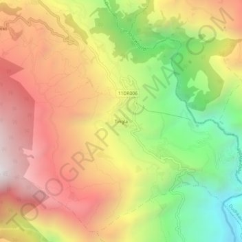
Name: Tingla topographic map, elevation, terrain.
Location: Tingla, Nechasalyan, Solukhumbu, Province #1, Nepal (27.39565 86.58753 27.43565 86.62753)
Average elevation: 1,843 m
Minimum elevation: 971 m
Maximum elevation: 2,629 m