
Koseze topographic map
Interactive map
Click on the map to display elevation.
About this map
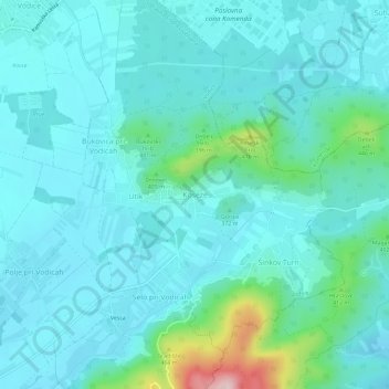
Name: Koseze topographic map, elevation, terrain.
Location: Koseze, Vodice, Upravna Enota Ljubljana, 1217, Slovenia (46.14975 14.49931 46.18975 14.53931)
Average elevation: 356 m
Minimum elevation: 313 m
Maximum elevation: 590 m