
La Bresse topographic map
Interactive map
Click on the map to display elevation.
About this map
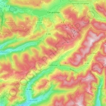
Name: La Bresse topographic map, elevation, terrain.
Average elevation: 855 m
Minimum elevation: 496 m
Maximum elevation: 1,201 m
Other topographic maps
Click on a map to view its topography, its elevation and its terrain.
Saint-Vallier
France > Grand Est > Vosges > Saint-Vallier
Saint-Vallier, Épinal, Vosges, Grand Est, Metropolitan France, 88270, France
Average elevation: 374 m