
Puerto Villaroel topographic map
Interactive map
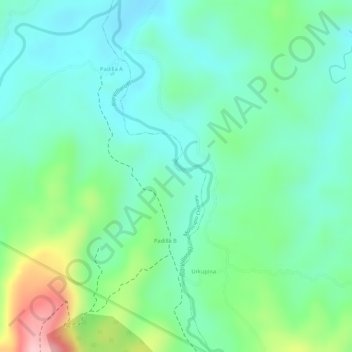
Click on the map to display elevation.
About this map
Name: Puerto Villaroel topographic map, elevation, terrain.
Average elevation: 338 m
Minimum elevation: 278 m
Maximum elevation: 479 m
Other topographic maps
Click on a map to view its topography, its elevation and its terrain.
Bello Horizonte
Bolivia > Cochabamba > Municipio Puerto Villarroel > Bello Horizonte
Average elevation: 213 m