
Punata topographic map
Interactive map
Click on the map to display elevation.
About this map
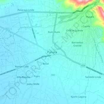
Name: Punata topographic map, elevation, terrain.
Location: Punata, Cochabamba, Bolivia (-17.58521 -65.87645 -17.50521 -65.79645)
Average elevation: 2,733 m
Minimum elevation: 2,702 m
Maximum elevation: 3,063 m