
Beni Tamou topographic map
Interactive map
Click on the map to display elevation.
About this map
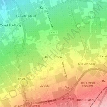
Name: Beni Tamou topographic map, elevation, terrain.
Location: Beni Tamou, Daïra Oued El Alleug, Blida, Algérie (36.50856 2.77243 36.57044 2.84334)
Average elevation: 92 m
Minimum elevation: 23 m
Maximum elevation: 177 m
Other topographic maps
Click on a map to view its topography, its elevation and its terrain.
Oued El Alleug
Algérie > Blida > Daïra Oued El Alleug
Oued El Alleug, Daïra Oued El Alleug, Blida, Algérie
Average elevation: 62 m