
Märkische Heide topographic map
Interactive map
Click on the map to display elevation.
About this map
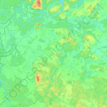
Name: Märkische Heide topographic map, elevation, terrain.
Location: Märkische Heide, Dahme-Spreewald, Brandenburg, Deutschland (51.95661 13.87972 52.13778 14.12915)
Average elevation: 51 m
Minimum elevation: 35 m
Maximum elevation: 101 m