
Sidi Damed topographic map
Interactive map
Click on the map to display elevation.
About this map
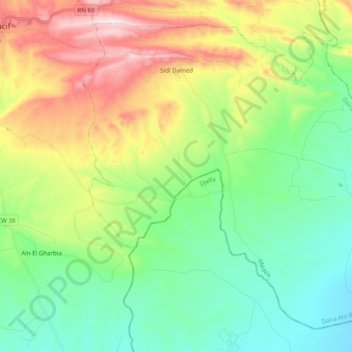
Name: Sidi Damed topographic map, elevation, terrain.
Location: Sidi Damed, Daïra Aïn Boucif, Médéa, Algérie (35.75331 3.20294 35.89184 3.39966)
Average elevation: 908 m
Minimum elevation: 715 m
Maximum elevation: 1,292 m
Other topographic maps
Click on a map to view its topography, its elevation and its terrain.
Aïn Boucif
Algérie > Médéa > Daïra Aïn Boucif
Aïn Boucif, Daïra Aïn Boucif, Médéa, 26500, Algérie
Average elevation: 900 m