
Sedudu topographic map
Interactive map
Click on the map to display elevation.
About this map
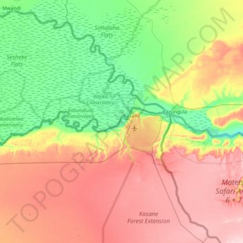
Name: Sedudu topographic map, elevation, terrain.
Location: Sedudu, Chobe District, Botswana (-18.13347 24.80901 -17.49347 25.44901)
Average elevation: 982 m
Minimum elevation: 910 m
Maximum elevation: 1,080 m
Other topographic maps
Click on a map to view its topography, its elevation and its terrain.
Chobe National Park
Chobe National Park, Nogatsaa - Savuti, Chobe District, Botswana
Average elevation: 964 m