
Capitol Hill topographic map
Interactive map
Click on the map to display elevation.
About this map
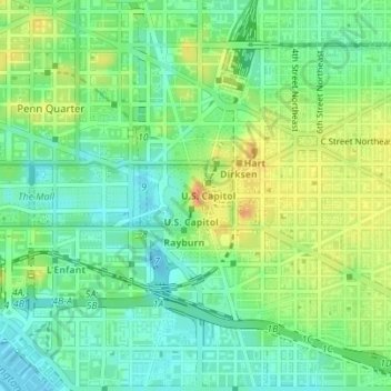
Name: Capitol Hill topographic map, elevation, terrain.
Location: Capitol Hill, Washington, District of Columbia, 20215, USA (38.87956 -77.01942 38.89956 -76.99942)
Average elevation: 18 m
Minimum elevation: -3 m
Maximum elevation: 44 m