
Paso de los Toros topographic map
Interactive map
Click on the map to display elevation.
About this map
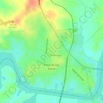
Name: Paso de los Toros topographic map, elevation, terrain.
Location: Paso de los Toros, Tacuarembó, 45100, Uruguay (-32.82249 -56.54065 -32.78784 -56.49496)
Average elevation: 67 m
Minimum elevation: 49 m
Maximum elevation: 99 m