
Courcelles topographic map
Interactive map
Click on the map to display elevation.
About this map
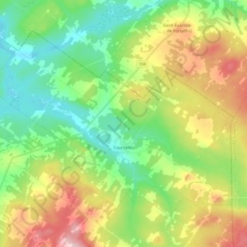
Name: Courcelles topographic map, elevation, terrain.
Location: Courcelles, Le Granit, Estrie, Quebec, G0M 1C0, Canada (45.83530 -71.09396 45.93868 -70.89663)
Average elevation: 385 m
Minimum elevation: 292 m
Maximum elevation: 549 m