
Hoi Ha topographic map
Interactive map
Click on the map to display elevation.
About this map
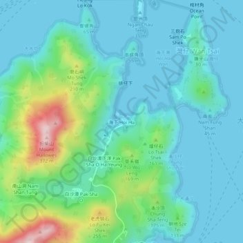
Name: Hoi Ha topographic map, elevation, terrain.
Location: Hoi Ha, Tai Po District, Hong Kong, PRC (22.44045 114.30799 22.48045 114.34799)
Average elevation: 74 m
Minimum elevation: -2 m
Maximum elevation: 360 m