
Methven topographic map
Interactive map
Click on the map to display elevation.
About this map
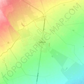
Name: Methven topographic map, elevation, terrain.
Location: Methven, Ashburton District, Canterbury, 7730, New Zealand (-43.67243 171.60726 -43.59243 171.68726)
Average elevation: 322 m
Minimum elevation: 270 m
Maximum elevation: 396 m