
Sturgis topographic map
Interactive map
Click on the map to display elevation.
About this map
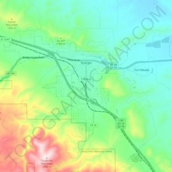
Name: Sturgis topographic map, elevation, terrain.
Location: Sturgis, Meade County, South Dakota, United States (44.37907 -103.56456 44.42736 -103.44847)
Average elevation: 1,127 m
Minimum elevation: 972 m
Maximum elevation: 1,507 m
Other topographic maps
Click on a map to view its topography, its elevation and its terrain.
Bear Butte
United States > South Dakota > Meade County
Bear Butte, Meade County, South Dakota, United States
Average elevation: 1,010 m