
Romboe topographic map
Interactive map
Click on the map to display elevation.
About this map
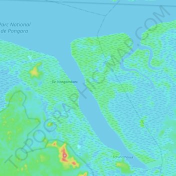
Name: Romboe topographic map, elevation, terrain.
Location: Romboe, Komo-Mondah Department, Estuaire, Gabon (0.00060 9.73391 0.16986 9.84970)
Average elevation: 13 m
Minimum elevation: -4 m
Maximum elevation: 169 m
Other topographic maps
Click on a map to view its topography, its elevation and its terrain.