
Dickson County topographic map
Interactive map
Click on the map to display elevation.
About this map
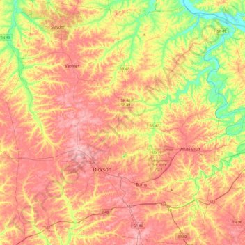
Name: Dickson County topographic map, elevation, terrain.
Location: Dickson County, Tennessee, USA (35.96083 -87.56629 36.33515 -87.14801)
Average elevation: 211 m
Minimum elevation: 113 m
Maximum elevation: 293 m