
Saïda topographic map
Interactive map
Click on the map to display elevation.
About this map
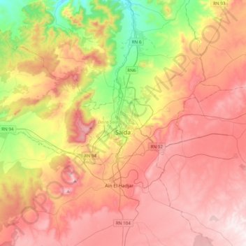
Name: Saïda topographic map, elevation, terrain.
Location: Saïda, daïra Saïda, Saïda, 20000, Algérie (34.68164 -0.00901 35.00164 0.31099)
Average elevation: 971 m
Minimum elevation: 590 m
Maximum elevation: 1,289 m