
Gualberto Villarroel topographic map
Interactive map
Click on the map to display elevation.
About this map
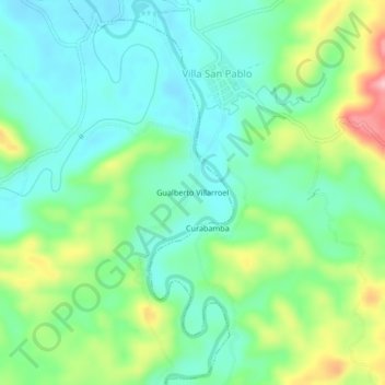
Name: Gualberto Villarroel topographic map, elevation, terrain.
Location: Gualberto Villarroel, Carrasco, Cochabamba, Bolivia (-17.10212 -65.08351 -17.06212 -65.04351)
Average elevation: 278 m
Minimum elevation: 231 m
Maximum elevation: 387 m