
Nyala topographic map
Interactive map
Click on the map to display elevation.
About this map
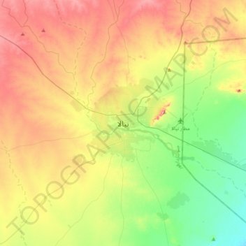
Name: Nyala topographic map, elevation, terrain.
Location: Nyala, South Darfur State, Sudan (11.89051 24.71951 12.21051 25.03951)
Average elevation: 677 m
Minimum elevation: 595 m
Maximum elevation: 782 m
Other topographic maps
Click on a map to view its topography, its elevation and its terrain.
Bulbul
Sudan > South Darfur State > Nyala
Bulbul, Nyala, South Darfur State, Sudan
Average elevation: 806 m