
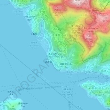
水菜田村 Shui Choi Tin Village topographic map
Interactive map
Click on the map to display elevation.
About this map
Name: 水菜田村 Shui Choi Tin Village topographic map, elevation, terrain.
Average elevation: 94 m
Minimum elevation: -3 m
Maximum elevation: 507 m