
Thank you for supporting this site ❤️
Make a donation
Make a donation
Simpsonville topographic map
Click on the map to display elevation.
Thank you for supporting this site ❤️
Make a donation
Make a donation
Simpsonville
Simpsonville is located in southeastern Greenville County at 34°44′0″N 82°15′36″W / 34.73333°N 82.26000°W / 34.73333; -82.26000 (34.733375, -82.260001), between Mauldin to the northwest and Fountain Inn to the southeast. The center of town has an elevation of 866 feet (264 m) above sea level.
Thank you for supporting this site ❤️
Make a donation
Make a donation
About this map
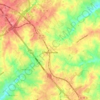
Name: Simpsonville topographic map, elevation, terrain.
Average elevation: 258 m
Minimum elevation: 215 m
Maximum elevation: 292 m
Thank you for supporting this site ❤️
Make a donation
Make a donation