
Make a donation
Mount Meharry topographic map
Click on the map to display elevation.
Make a donation
Mount Meharry
The summit of Mt Meharry can be reached from the Great Northern Highway via an unsealed road 16 km (9.9 mi) in length and a vehicular track 21 kilometres (13 mi) in length. Permission should be sought from the managers of the land over which the road and track pass. These are Juna Downs Station and the Department of Parks and Wildlife, which manages Karijini National Park. In dry conditions, a two-wheel-drive vehicle can reach the national park boundary at about 800 metres altitude, requiring a walk of about 7 kilometres to the summit.
Make a donation
About this map
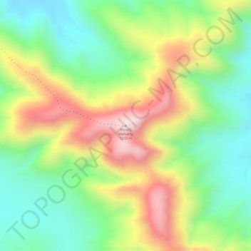
Name: Mount Meharry topographic map, elevation, terrain.
Average elevation: 1,030 m
Minimum elevation: 859 m
Maximum elevation: 1,247 m
Make a donation
Other topographic maps
Click on a map to view its topography, its elevation and its terrain.
Make a donation
Make a donation