
Karimata Island topographic map
Interactive map
Click on the map to display elevation.
About this map
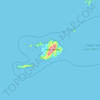
Name: Karimata Island topographic map, elevation, terrain.
Location: Karimata Island, Bangka-Belitung Islands, Indonesia (-1.92933 108.57325 -1.28933 109.21325)
Average elevation: 8 m
Minimum elevation: -2 m
Maximum elevation: 975 m