
Thank you for supporting this site ❤️
Make a donation
Make a donation
Wiesentheid topographic map
Click on the map to display elevation.
Thank you for supporting this site ❤️
Make a donation
Make a donation
About this map
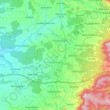
Name: Wiesentheid topographic map, elevation, terrain.
Location: Wiesentheid, Landkreis Kitzingen, Bavaria, 97353, Germany (49.77560 10.25124 49.83061 10.42882)
Average elevation: 276 m
Minimum elevation: 199 m
Maximum elevation: 482 m
Thank you for supporting this site ❤️
Make a donation
Make a donation
Other topographic maps
Click on a map to view its topography, its elevation and its terrain.