
Thank you for supporting this site ❤️
Make a donation
Make a donation
Katterbach topographic map
Click on the map to display elevation.
Thank you for supporting this site ❤️
Make a donation
Make a donation
About this map
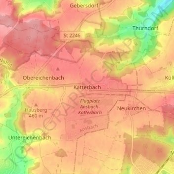
Name: Katterbach topographic map, elevation, terrain.
Location: Katterbach, Ansbach, Bavaria, 91623, Germany (49.29425 10.61862 49.33425 10.65862)
Average elevation: 452 m
Minimum elevation: 379 m
Maximum elevation: 486 m
Thank you for supporting this site ❤️
Make a donation
Make a donation