
Thank you for supporting this site ❤️
Make a donation
Make a donation
Avintes topographic map
Click on the map to display elevation.
Thank you for supporting this site ❤️
Make a donation
Make a donation
About this map
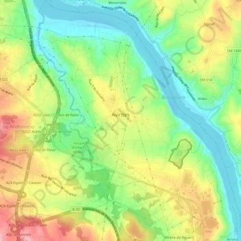
Name: Avintes topographic map, elevation, terrain.
Location: Avintes, Vila Nova de Gaia, Porto, Portugal (41.08238 -8.57182 41.12619 -8.52163)
Average elevation: 76 m
Minimum elevation: -1 m
Maximum elevation: 180 m
Thank you for supporting this site ❤️
Make a donation
Make a donation