

Tunupa topographic map
Click on the map to display elevation.
Tunupa
It stands on the northern side of the Salar de Uyuni at an elevation of 5,321 m (17,457 ft) on the Bolivian Altiplano. Tunupa was active in the Pleistocene, with most of the volcano constructed by lava flows that erupted between 1.36 and 1.56 million years ago. Later glaciers developed on the mountain.
About this map
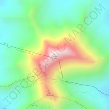
Name: Tunupa topographic map, elevation, terrain.
Average elevation: 4,826 m
Minimum elevation: 4,544 m
Maximum elevation: 5,319 m