
Thank you for supporting this site ❤️
Make a donation
Make a donation
Izenberge topographic map
Click on the map to display elevation.
Thank you for supporting this site ❤️
Make a donation
Make a donation
About this map
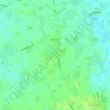
Name: Izenberge topographic map, elevation, terrain.
Location: Izenberge, Alveringem, Veurne, West Flanders, Belgium (50.97468 2.64611 51.00497 2.67575)
Average elevation: 9 m
Minimum elevation: 3 m
Maximum elevation: 15 m
Thank you for supporting this site ❤️
Make a donation
Make a donation