
Kwando topographic map
Interactive map
Click on the map to display elevation.
About this map
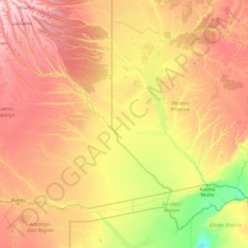
Name: Kwando topographic map, elevation, terrain.
Location: Kwando, Cuando Cubango, Angola (-18.50233 19.35311 -13.68198 25.26177)
Average elevation: 1,091 m
Minimum elevation: 919 m
Maximum elevation: 1,510 m