
Thank you for supporting this site ❤️
Make a donation
Make a donation
Ait topographic map
Click on the map to display elevation.
Thank you for supporting this site ❤️
Make a donation
Make a donation
About this map
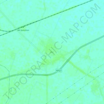
Name: Ait topographic map, elevation, terrain.
Location: Ait, Orai, Jalaun, Uttar Pradesh, 285201, Inde (25.87328 79.22190 25.91328 79.26190)
Average elevation: 154 m
Minimum elevation: 150 m
Maximum elevation: 156 m
Thank you for supporting this site ❤️
Make a donation
Make a donation