
Thank you for supporting this site ❤️
Make a donation
Make a donation
Tennenlohe topographic map
Click on the map to display elevation.
Thank you for supporting this site ❤️
Make a donation
Make a donation
About this map
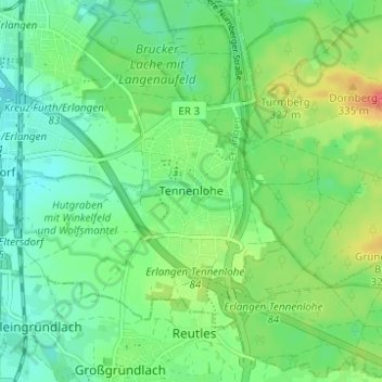
Name: Tennenlohe topographic map, elevation, terrain.
Location: Tennenlohe, Erlangen, Bavaria, 91058, Germany (49.52929 11.00413 49.56929 11.04413)
Average elevation: 301 m
Minimum elevation: 282 m
Maximum elevation: 337 m
Thank you for supporting this site ❤️
Make a donation
Make a donation