
Thank you for supporting this site ❤️
Make a donation
Make a donation
Olching topographic map
Click on the map to display elevation.
Thank you for supporting this site ❤️
Make a donation
Make a donation
About this map
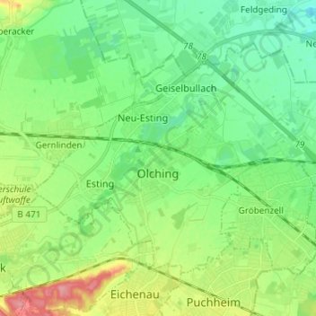
Name: Olching topographic map, elevation, terrain.
Location: Olching, Landkreis Fürstenfeldbruck, Bavaria, 82140, Germany (48.17809 11.28319 48.23715 11.40485)
Average elevation: 509 m
Minimum elevation: 480 m
Maximum elevation: 572 m
Thank you for supporting this site ❤️
Make a donation
Make a donation