
Kasane topographic map
Click on the map to display elevation.
About this map
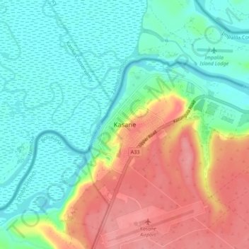
Name: Kasane topographic map, elevation, terrain.
Location: Kasane, Chobe District, Botswana (-17.83924 25.11655 -17.75924 25.19655)
Average elevation: 951 m
Minimum elevation: 920 m
Maximum elevation: 1,004 m