
Lenggong topographic map
Interactive map
Click on the map to display elevation.
About this map
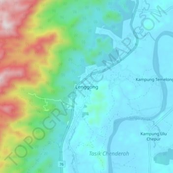
Name: Lenggong topographic map, elevation, terrain.
Location: Lenggong, Hulu Perak District, Perak, 33400, Malaysia (5.06949 100.92789 5.14949 101.00789)
Average elevation: 263 m
Minimum elevation: 57 m
Maximum elevation: 1,059 m