
Yankton County topographic map
Interactive map
Click on the map to display elevation.
About this map
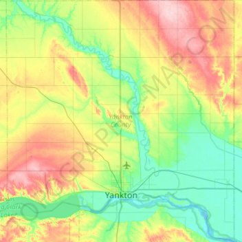
Name: Yankton County topographic map, elevation, terrain.
Location: Yankton County, South Dakota, USA (42.79663 -97.63750 43.16998 -97.16021)
Average elevation: 405 m
Minimum elevation: 348 m
Maximum elevation: 512 m
Other topographic maps
Click on a map to view its topography, its elevation and its terrain.
Mount McKinley
Mount McKinley, Harding County, South Dakota, USA
Average elevation: 980 m
Missouri River
Missouri River, Sully County, South Dakota, 64072, USA
Average elevation: 901 m